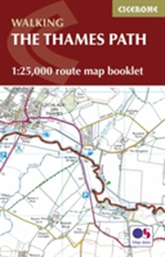
The Thames Path Map Booklet
333 Kč
Sleva až 70% u třetiny knih
Map of the 180 mile (288km) Thames Path National Trail, from London's Thames Barrier to the river's source near Cirencester in Gloucestershire. This booklet is included with the Cicerone guidebook to the trail, and shows the full route on OS 1:25,000 maps. The easy riverside route takes around two weeks to walk.
| Autor: | Hatts, Leigh |
| Nakladatel: | Cicerone Press |
| ISBN: | 9781852849252 |
| Rok vydání: | 2016 |
| Jazyk : | Angličtina |
| Vazba: | Paperback / softback |
| Počet stran: | 96 |
Mohlo by se vám také líbit..
-

South East London
Hatts, Leigh
-

The Lea Valley Walk
Hatts, Leigh
-

The Pilgrims' Way
Hatts, Leigh
-

Walking on Madeira
Dillon, Paddy
-

The Camino Ingles and Ruta do Mar
Whitson, Dave; Perazzoli, Laura
-

Trekking the Kungsleden
Laing, Mike
-

Walking in Italy\'s Cinque Terre
Price, Gillian
-

The Camino del Norte and Camino Primi...
Whitson, Dave; Perazzoli, Laura
-

Walking on the Azores
Dillon, Paddy
-

Walking the Via Francigena pilgrim ro...
Brown, Vivienne (The Open University, Milton Keynes, UK)
-

Pocket First Aid and Wilderness Medi...
Duffy, Jim
-

Walking in Portugal
Whitmarsh, Simon; Mok, Andrew
-

Walking in Abruzzo
Haines, Stuart
-

The Slovene Mountain Trail
Carey, Justi; Clark, Roy
-

20 Classic Sportive Rides in South W...
Dennis, Colin
-

The Isle of Skye
Marsh, Terry


