

Grantown-on-Spey & Hills of Cromdale, Upper Knockando & Tomnavoulin

16
%
344 Kč 407 Kč
Odesíláme do 5 až 7 dní
Sleva až 70% u třetiny knih
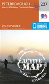
OS Explorer is the Ordnance Survey's most detailed map and is recommended for anyone enjoying outdoor activities like walking, horse riding and off-road cycling. Providing complete GB coverage the series details essential information such as youth hostels, pubs and visitor information as well as rights of way, permissive paths and bridleways.
| Autor: | Ordnance Survey |
| Nakladatel: | Ordnance Survey |
| ISBN: | 9780319243008 |
| Rok vydání: | 2015 |
| Jazyk : | Angličtina |
| Vazba: | Sheet map, folded |
Mohlo by se vám také líbit..
-
Skye - Trotternish and the Storr
Ordnance Survey
-

Loch Morar and Mallaig
Ordnance Survey
-
Isle of Man
Ordnance Survey
-

Glasgow
Ordnance Survey
-
Thurso and John O'Groats
Ordnance Survey
-
Skye - Sleat
Ordnance Survey
-
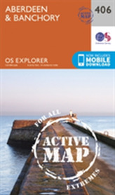
Aberdeen and Banchory
Ordnance Survey
-
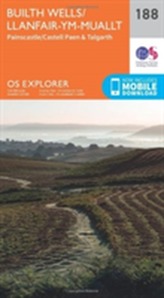
Builth Wells, Painscastle and Talgarth
Ordnance Survey
-
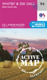
Whitby, Esk Dale & Robin Hood�...
Ordnance Survey
-
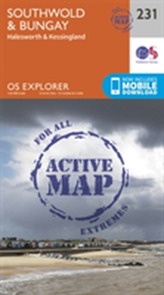
Southwold and Bungay
Ordnance Survey
-
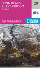
Beinn Dearg & Loch Broom, Ben Wyvis
Ordnance Survey
-
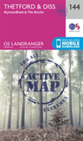
Thetford & Diss, Breckland & Wymondham
Ordnance Survey
-
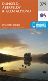
Dunkeld, Aberfeldy and Glen Almond
Ordnance Survey
-
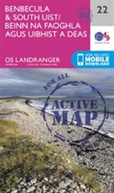
Benbecula & South Uist
Ordnance Survey
-
Peterborough
Ordnance Survey
-

Lincoln
Ordnance Survey