

Correen Hills & Glenlivet, Bennachie & Ladder Hills, Insch & Rhynie

578 Kč
Expedice za 2 až 3 dny
Sleva až 70% u třetiny knih
OS Explorer is the Ordnance Survey's most detailed map and is recommended for anyone enjoying outdoor activities such as walking, horse riding and off-road cycling. The series provides complete GB coverage and can now be used in all weathers thanks to OS Explorer - Active, a tough, versatile version of OS Explorer.
| Autor: | Ordnance Survey |
| Nakladatel: | Ordnance Survey |
| ISBN: | 9780319469804 |
| Rok vydání: | 2015 |
| Jazyk : | Angličtina |
| Vazba: | Sheet map, folded |
Mohlo by se vám také líbit..
-
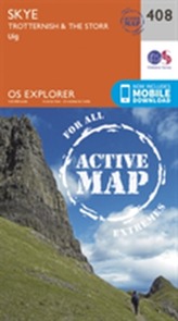
Skye - Trotternish and the Storr
Ordnance Survey
-
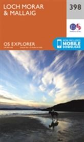
Loch Morar and Mallaig
Ordnance Survey
-

Glasgow
Ordnance Survey
-

Isle of Man
Ordnance Survey
-
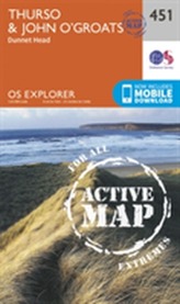
Thurso and John O'Groats
Ordnance Survey
-
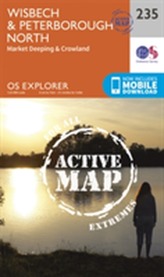
Wisbech and Peterborough North
Ordnance Survey
-
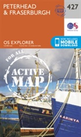
Peterhead and Fraserburgh
Ordnance Survey
-

Goole and Gilberdyke
Ordnance Survey
-

King's Lynn, Downham Market and...
Ordnance Survey
-
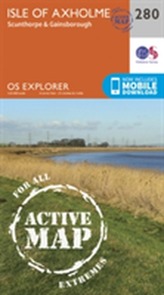
Isle of Axholme, Scunthorpe and Gain...
Ordnance Survey
-
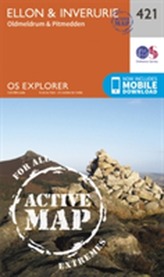
Ellon and Inverurie
Ordnance Survey
-
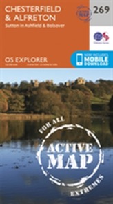
Chesterfield and Alfreton
Ordnance Survey
-
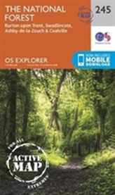
The National Forest
-
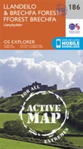
Llandeilo and Brechfa Forest
Ordnance Survey
-
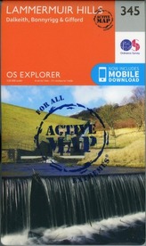
Lammermuir Hills
Ordnance Survey
-
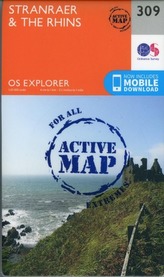
Stranraer and the Rhins
Ordnance Survey