

Haslemere & Petersfield, Midhurst & Selborne

16
%
344 Kč 407 Kč
Odesíláme do 5 až 7 dní
Sleva až 70% u třetiny knih
OS Explorer is the Ordnance Survey's most detailed map and is recommended for anyone enjoying outdoor activities like walking, horse riding and off-road cycling. Providing complete GB coverage the series details essential information such as youth hostels, pubs and visitor information as well as rights of way, permissive paths and bridleways.
| Autor: | Ordnance Survey |
| Nakladatel: | Ordnance Survey |
| ISBN: | 9780319242728 |
| Rok vydání: | 2015 |
| Jazyk : | Angličtina |
| Vazba: | Sheet map, folded |
Mohlo by se vám také líbit..
-

Glasgow
Ordnance Survey
-

Skye - Trotternish and the Storr
Ordnance Survey
-

Loch Morar and Mallaig
Ordnance Survey
-

Isle of Man
Ordnance Survey
-
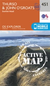
Thurso and John O'Groats
Ordnance Survey
-

Skye - Sleat
Ordnance Survey
-

Newport and Pontypool / Casnewydd a ...
Ordnance Survey
-

Withernsea and Spurn Head
Ordnance Survey
-
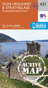
Glen Urquhart and Strathglass
Ordnance Survey
-

Rutland Water, Stamford and Oakham
Ordnance Survey
-

Shetland - Mainland North West
Ordnance Survey
-

Presteigne & Hay-on-Wye / Llanan...
Ordnance Survey
-

Liverpool, Southport & Wigan
Ordnance Survey
-
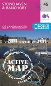
Stonehaven & Banchory
Ordnance Survey
-

Market Weighton, Goole & Stamfor...
Ordnance Survey
-
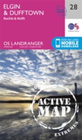
Elgin, Dufftown, Buckie & Keith
Ordnance Survey