

London Pocket Map

14
%
107 Kč 125 Kč
Zboží skladem, ihned k odeslaní
Pokud objednám nyní, kdy zboží dostanu
Sleva až 70% u třetiny knih
Handy little full colour map of central London with a high level of detail. Clear mapping from Regent\'s Park in the north to Kennington in the south, and Kensington Gardens in the west to Tower Bridge in the east at a scale of 1:12,500 (5 inches to 1 mile). Maps of West End shopping and theatres are also included.
| Autor: | Collins Maps |
| Nakladatel: | HarperCollins Publishers |
| ISBN: | 9780008370015 |
| Rok vydání: | 2020 |
| Jazyk : | Angličtina |
| Vazba: | Sheet map, folded |
Mohlo by se vám také líbit..
-
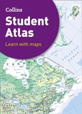
Collins Student Atlas
Collins Maps
-
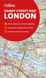
Collins London Handy Street Map
Collins Maps
-

Collins Children's World Map
Collins Maps
-
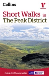
Short walks in the Peak District
Collins Maps
-

Children's Wall Map of the Unit...
Collins Maps
-

Collins Children's Picture Atlas
Collins Maps
-

The Great Arc
Keay, John
-

Peak District National Park Pocket Map
National Parks UK; Collins Maps
-

The Atlas of Unusual Borders
Nikolic, Zoran
-

The Times Universal Atlas of the World
Times Atlases
-

Talk More. Say Less. Get Ahead.
-

Collins Butterfly Guide
Tolman, Tom
-
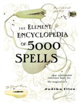
The Element Encyclopedia of 5000 Spells
Illes, Judika
-

Calorie Counter
-

Plymouth A-Z Pocket Street Map
Heron Maps
-

The Element Encyclopedia of 20,000 Dr...
Cheung Theresa