2020 Collins Map of Britain
13
%
125 Kč 144 Kč
Sleva až 70% u třetiny knih
Full colour double-sided map of Great Britain at 8.7 miles to 1 inch (1:550,000), with clear, detailed road network and administrative areas shown in colour.
| Autor: | Collins Maps |
| Nakladatel: | HarperCollins Publishers |
| ISBN: | 9780008318727 |
| Rok vydání: | CZE |
| Jazyk : | Čeština |
| Vazba: | CZE |
Mohlo by se vám také líbit..
-
Collins Student Atlas
Collins Maps
-
London Pocket Map
Collins Maps
-

Collins Children's World Map
Collins Maps
-
Fife Pocket Map
Collins Maps
-
Short walks in the Peak District
Collins Maps
-
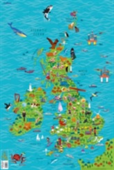
Children's Wall Map of the Unit...
Collins Maps
-
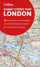
Collins London Handy Street Map
Collins Maps
-
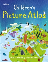
Collins Children's Picture Atlas
Collins Maps
-
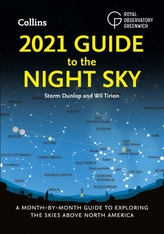
2021 Guide to the Night Sky
Dunlop, Storm
-

Astronomy Photographer of the Year: ...
Royal Observatory, Greenwich
-
Moongazing
Royal Observatory, Greenwich
-

AQA A Level Physics Year 1 and AS St...
Kelly, Dave
-

Higher Physics
Ferguson, Paul; Leckie, Leckie and
-

National 5 Physics
Michael T. Murray
-

Higher Physics Complete Revision and...
Ferguson, Paul; Leckie, Leckie and
-

National 5 Physics
Michael T. Murray


