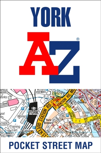
York A-Z Pocket Street Map
120 Kč 126 Kč
This up-to-date detailed A-Z street map includes all of the 1,500 streets in and around York. As well as the city centre the other areas covered are Woodthorpe, Dringhouses, Nunthorpe, Holgate, South Bank, The Rise, Bootham, Badger Hill, Tang Hall and Heworth.
| Autor: | Heron Maps |
| Nakladatel: | HarperCollins Publishers |
| ISBN: | 9780008391096 |
| Rok vydání: | 2020 |
| Jazyk : | Angličtina |
| Vazba: | Sheet map, folded |
| Počet stran: | 2 |
-
Nottingham A-Z Street Atlas
Heron Maps
-
Plymouth A-Z Pocket Street Map
Heron Maps
-

Milton Keynes A-Z Pocket Street Map
Heron Maps
-
Cheltenham A-Z Pocket Street Map
Heron Maps
-
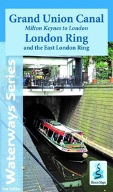
Grand Union Canal
Heron Maps
-

Zero Negativity
Middleton, Ant
-

Nick and Charlie
Alice Oseman
-

The Little Teashop in Tokyo
Julie Caplinová
-

Bing: The Rainybow Song
-
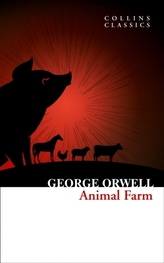
Animal Farm
George Orwell
-

The Final Twist
Jeffery Deaver
-

Shadow Of The Fox
Julie Kagawa
-

Strangers
Taylor C. L.
-

Fat Chance
Lustig Robert
-

Jump and Fly
Petr Horáček
-

Eat What You Watch
Threadgould, Andrew


