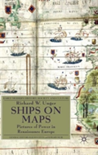
Ships on Maps
2741 Kč 2 828 Kč
Sleva až 70% u třetiny knih
Renaissance map-makers produced ever more accurate descriptions of geography, which were also beautiful works of art. They filled the oceans Europeans were exploring with ships and to describe the real ships which were the newest and best products of technology. Above all the ships were there to show the European conquest of the seas of the world.
| Autor: | Unger, Richard W. |
| Nakladatel: | Palgrave Macmillan |
| ISBN: | 9780230231641 |
| Rok vydání: | 2010 |
| Jazyk : | Angličtina |
| Vazba: | Hardback |
| Počet stran: | 233 |
Mohlo by se vám také líbit..
-

Lifeprints
Unger, Richard W.
-

Strategy and Policy for Trans-Europea...
Johnson Debra, Turner Colin,
-

The Transatlantic Eco-Romanticism of ...
Tovey, Paige
-

First-in-Family Students, University ...
Harwood, Valerie; Hickey-Moody, Anna; McMahon, Samantha; O'Shea, Sarah
-

An Aristotelian Realist Philosophy of...
Franklin, Jo
-

A History of Malaysia
Andaya, Barbara Watson
-

Sport Psychology
David Tod
-

History of Africa
Shillington, Kevin
-

The Evolution of Nuclear Strategy
Lawrence Freedman
-

The Importance of Neglect in Policy-M...
Vries, Michiel S. de
-

Gender Studies
Cranny-Francis, Anne
-

Soul Thieves
Brown, Tamara Lizette; Kopano, Baruti N.
-

Management, Information and Power
Introna, Lucas D.
-

What is History?
Carr, Edward Hallett
-

Curriculum Studies in South Africa
-

South-Asian Fiction in English
Tickell, Alex (University of Portsmouth, UK)


